We're updating our camping and moorage fees to continue providing great experiences for visitors amid inflation and rising costs. You will see a rate increase for camping stays booked for May 15 and beyond. Moorage fees will increase Jan. 1. Learn more here.
Fires allowed in all designated fire pits and grills. Propane and gas grills allowed.
Drinking water is currently available at Jones Island Marine State Park for the Season.
Water on the North end of the island is off until further notice.


Eastsound, WA 98245
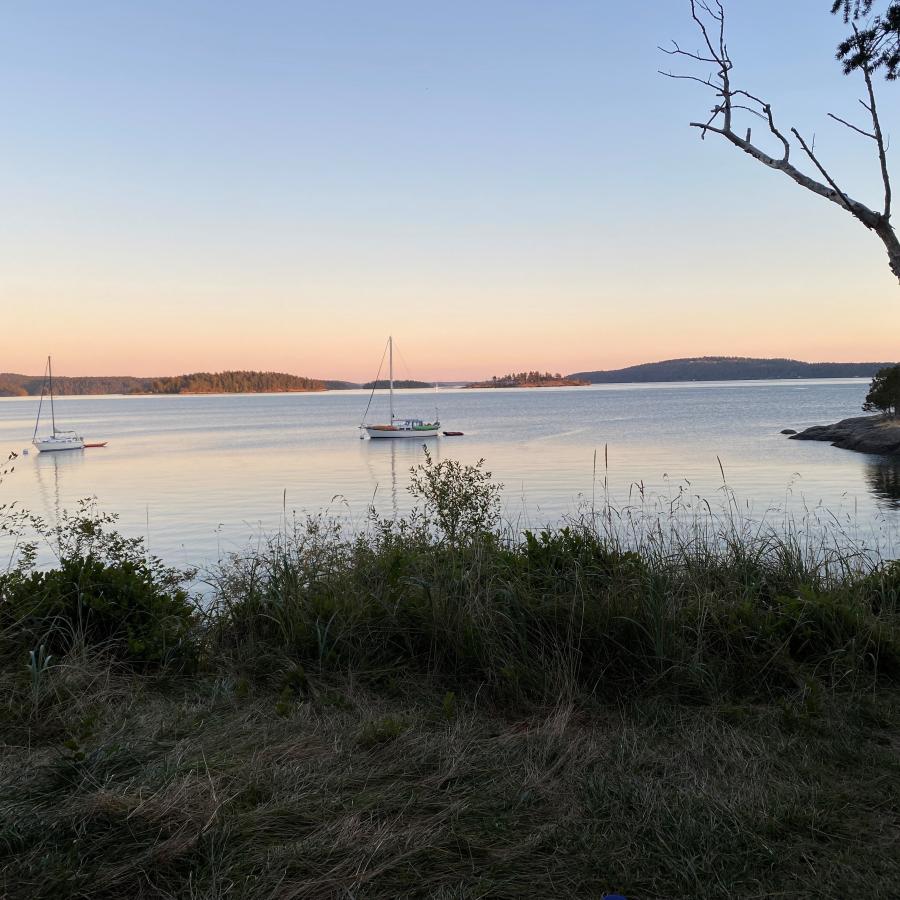
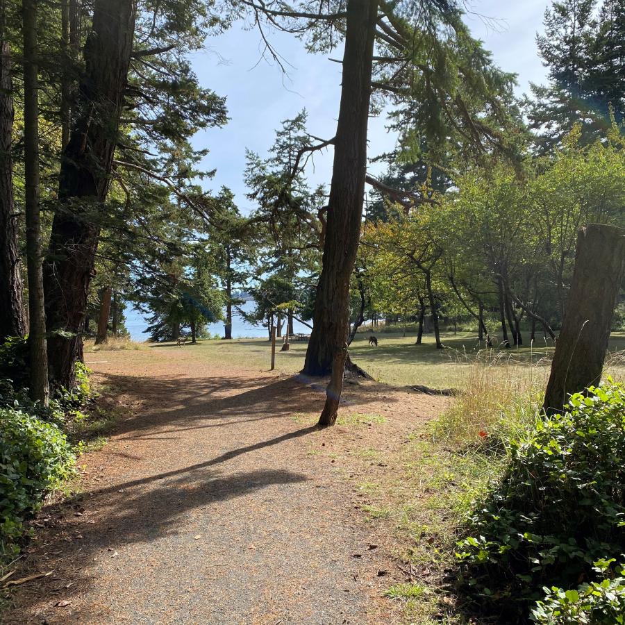
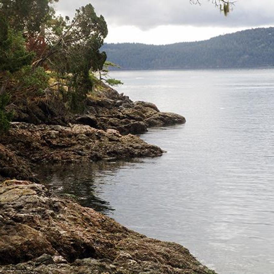
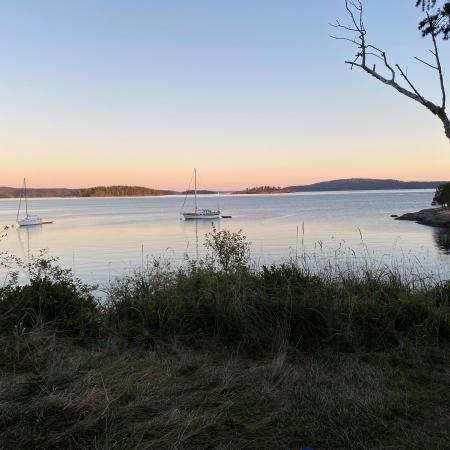
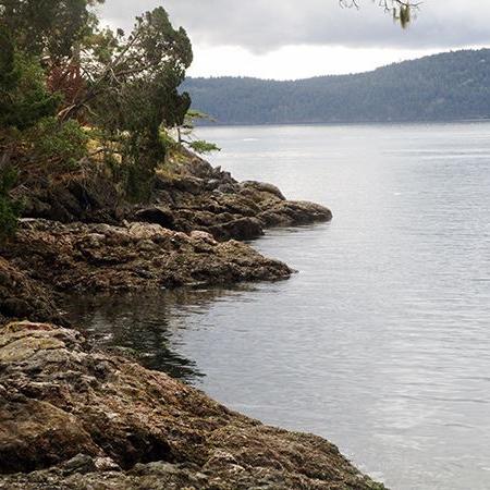
Among the enchanting San Juan Islands, snag a cliffside campsite for breathtaking views, explore untamed beaches, and glimpse native residents such as deer and otter on Jones Island.
Drinking water is available May through September.
No garbage services on the island, practice Leave No Trace principles. Read our blog to learn more about the LNT principles.
Beach Exploration
Bird Watching
Boating
Camping
Crabbing
Fishing
Hiking, Walking, Rolling and Running
Kayaking
Paddleboarding
Shellfishing
Swimming
Winter Camping
Drinking Water
Fire Pit
Restrooms
Buoys
Dock
Moorage
Grill
Picnic Shelters
Picnic Tables
Accessible Trails
Hiking Trails
Forest
Island
Mountain View
Rocky Beach
Saltwater
Seasonal Wildflowers
Viewpoint
Wildlife Viewing
Drinking water is available May through September.
No garbage services on the island, practice Leave No Trace principles. Read our blog to learn more about the LNT principles.
Picnic tables are available on a first-come, first-served basis.
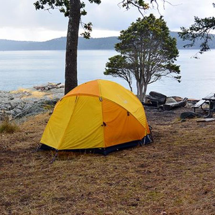
Primitive campsites are available on a first come, first serve basis. Campsites on the west side of Jones Island Marine State Park are part of the Cascadia Marine Trail and are only reservable by those arriving by human-powered vessel.
Group camps and Adirondacks are available for reservations.
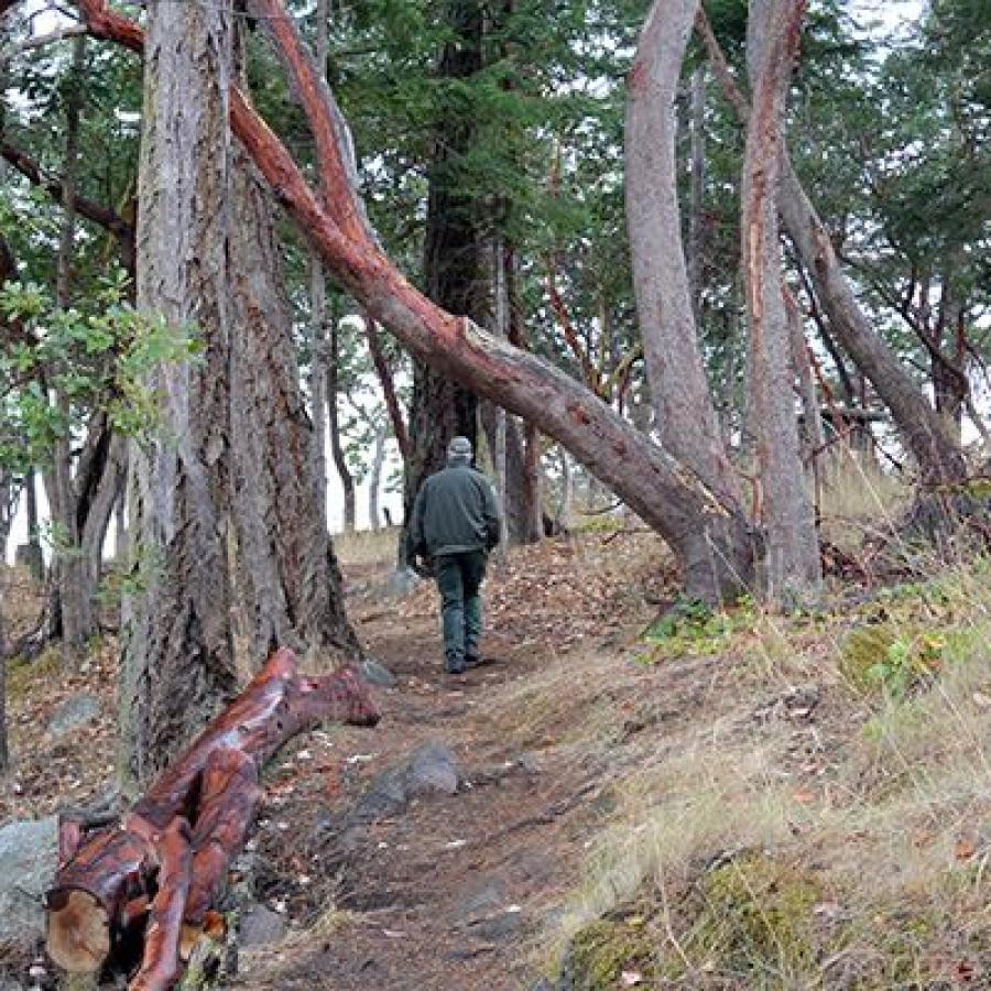
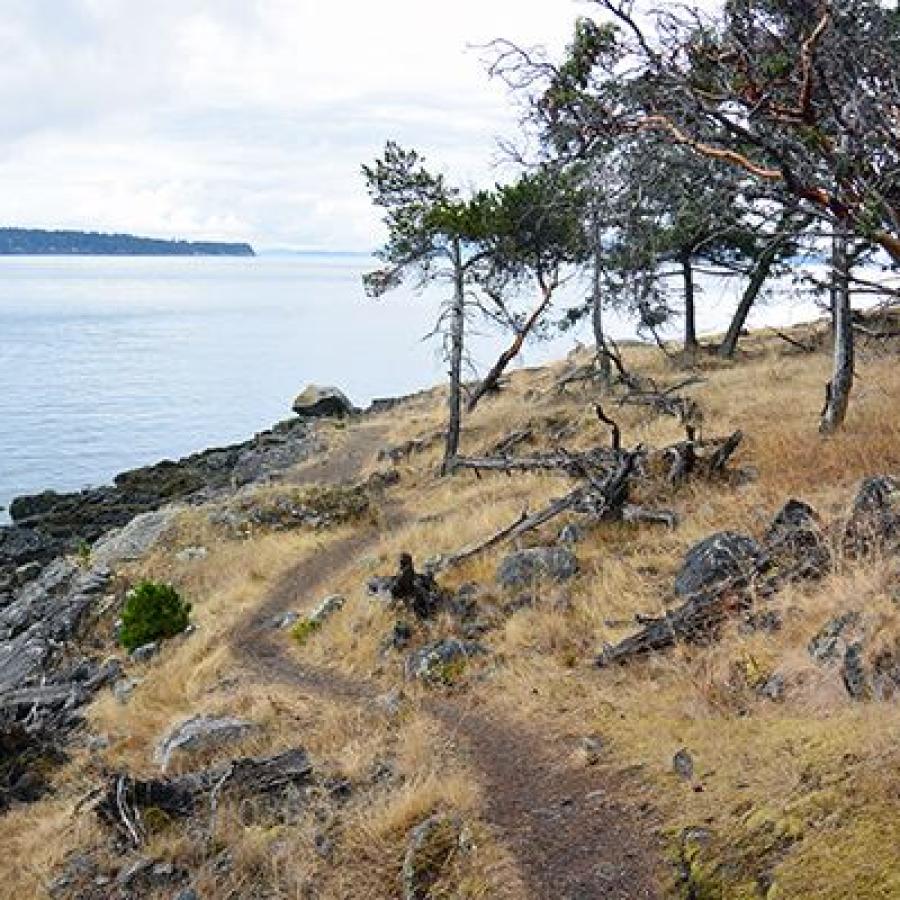
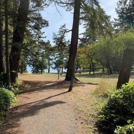
Explore four miles of hiking trails including an ADA-accessible trail through the island's interior. Endless water views greet you at every turn as you wander along the island's perimeter trail.
Part of the San Juan Islands, navigating these waters takes skill. There is a marked reef at the northeast entrance to North Cove and several unmarked, charted rocks along the southeastern shore. During high atmospheric pressure periods, strong northly winds may cause rough waters at North Cove. While low atmospheric conditions subject South Cove to strong southerly winds.
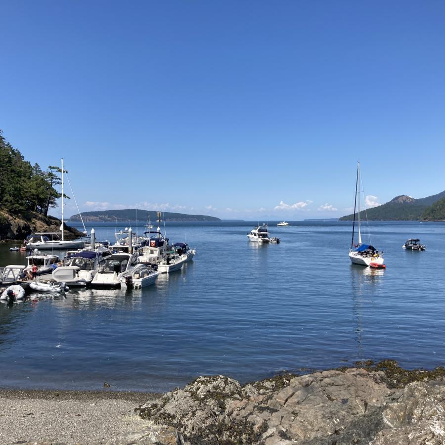
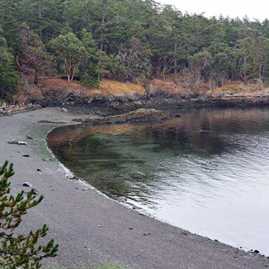
North and South coves are good for anchoring, expect continuous boat wakes from the heavy boat traffic during summer. The east and west sides of the island do not have good anchorage spots.
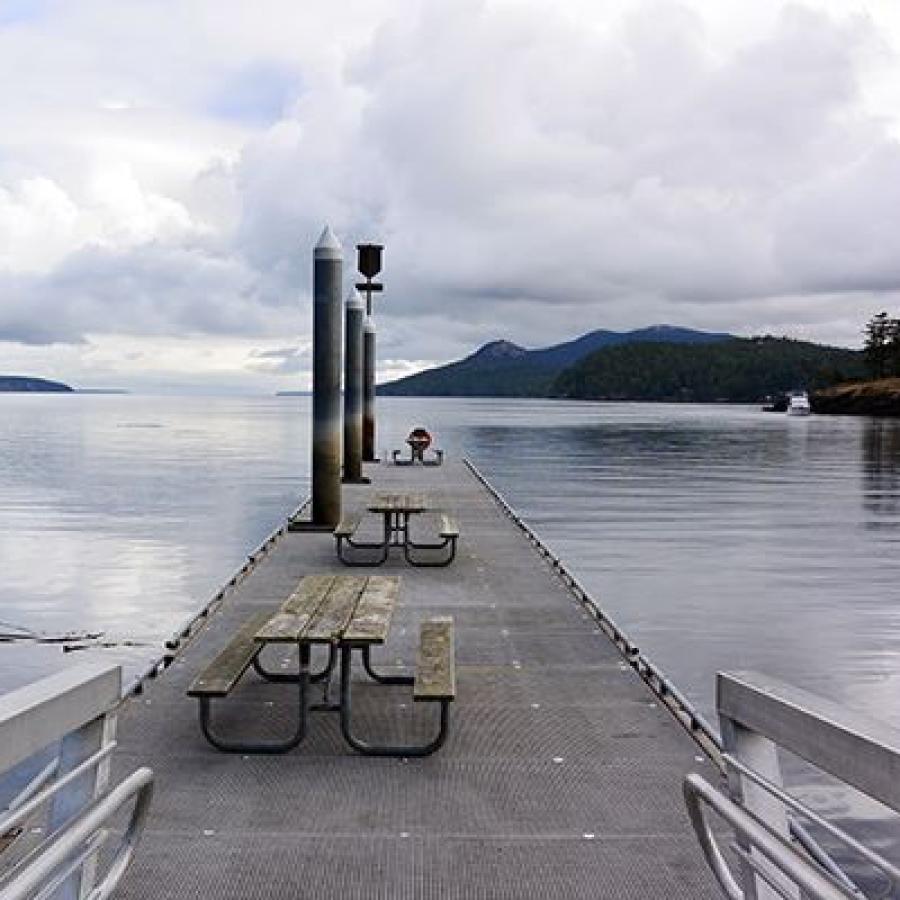
Seven year-round mooring buoys and 128 linear feet of dock moorage are located at the North Cove. The dock is removed early October through early April to prevent winter storm damage. Phone registration is available at buoys.
Buoys are located at Latitude: 48º 37' 4.99" N (48.6180) Longitude: 123º 2' 47.76" W (-123.0466).